下載 APKPure App
可在安卓獲取Oxygis的歷史版本
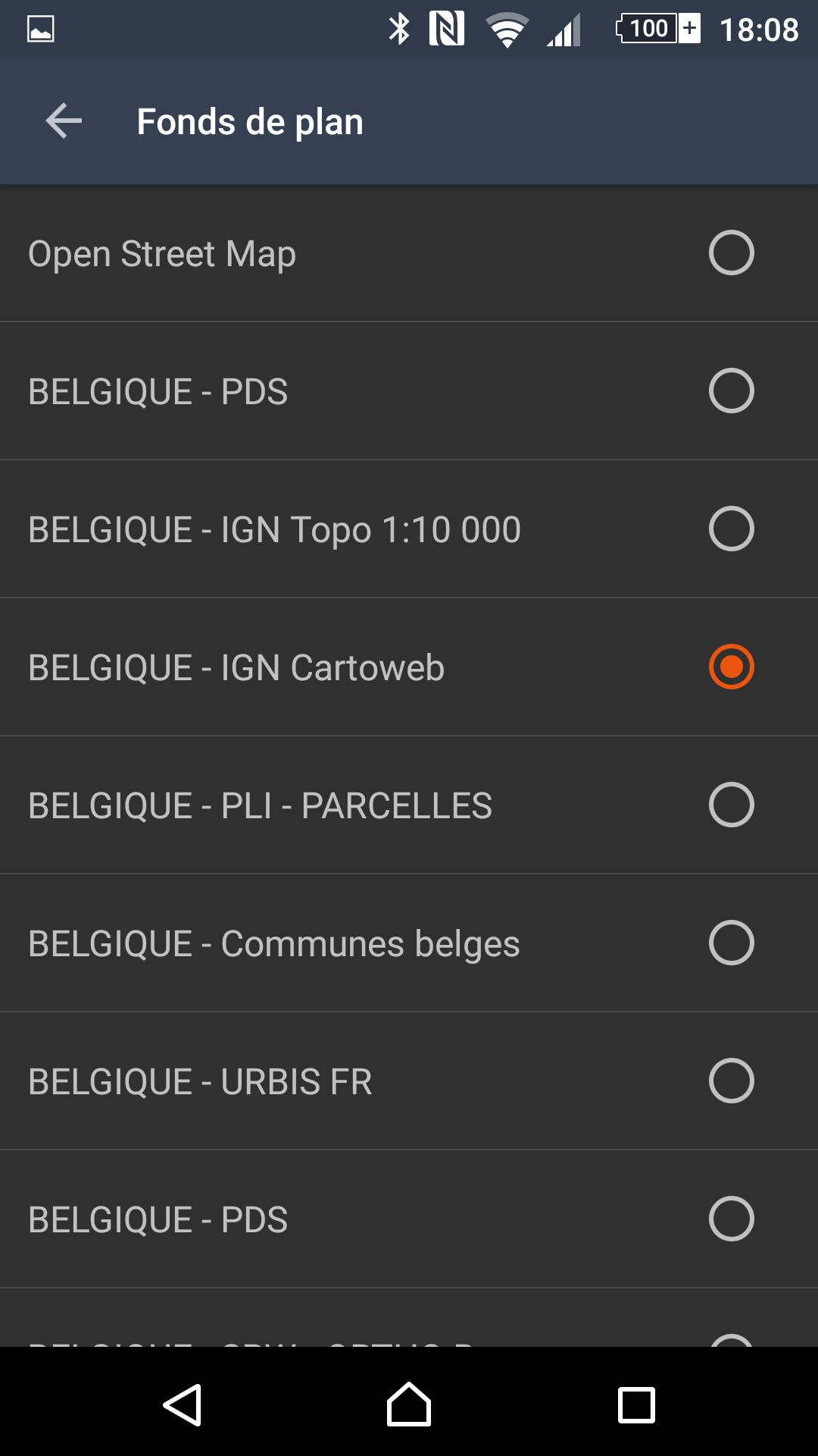
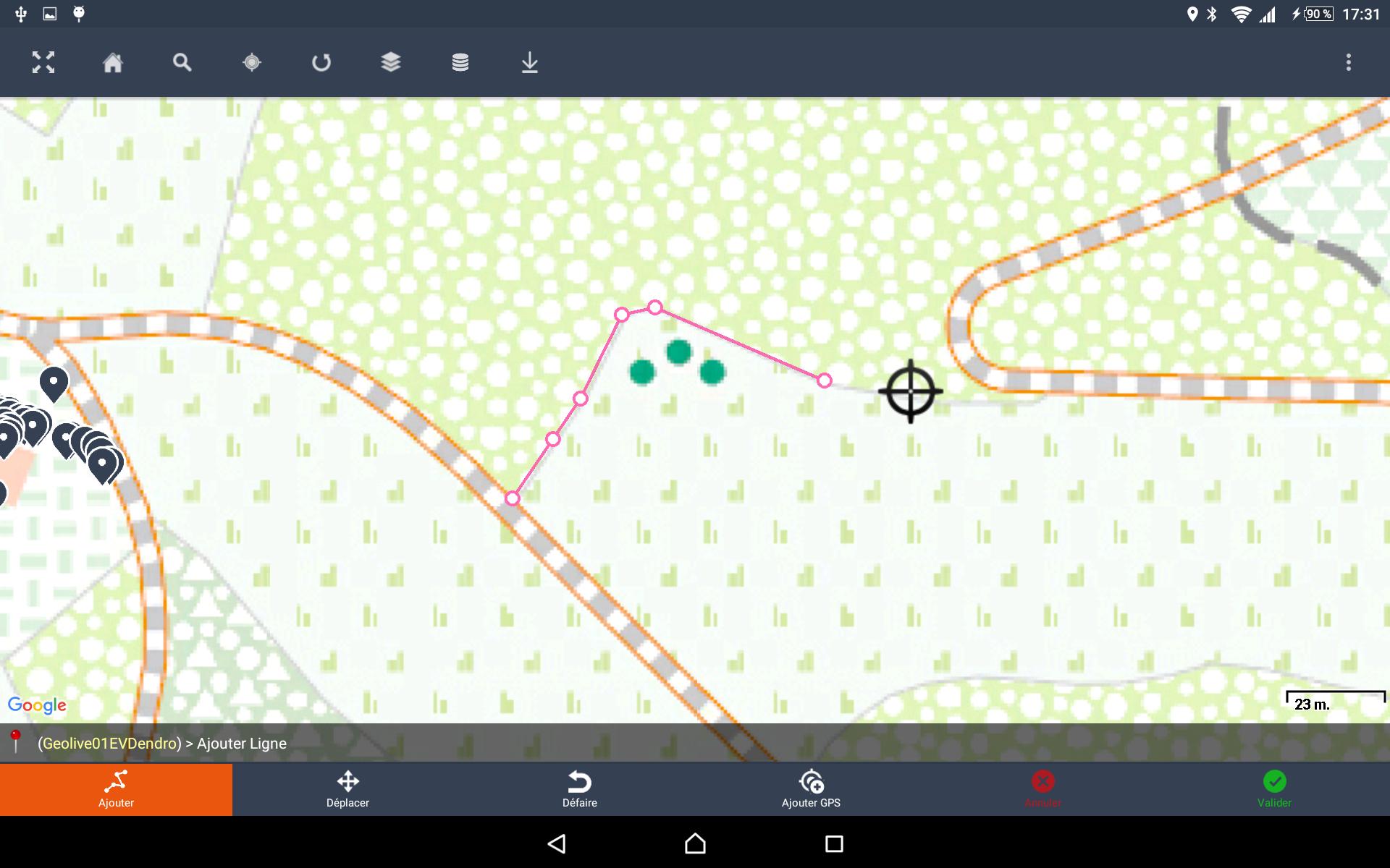
Logiciel de saisie d'informations cartographique sur le terrain
Just as much as you will need smart, connected devices, you will need smart and connected maps, to better manage the lifecycle of your assets.
Today maps are timidly used as a geolocation display. Tomorrow you will use them as both a cockpit and control tower of your day-to-day operations.
While we believe large enterprise software solutions are necessary data gate-keepers, our mission is to complete your IT arsenal with a better interface that empowers operational and decision-making users.
Our vision involves a future where your operational asset big data requires smart, connected applications to enable greater business value and reduced exploitation costs.
Oxygis is :
- Your go-to application for smart asset management
- Your trusted advisor for integrated IOT-Big Data projects related to connected asset maintenance and smart predictive maintenance projects
Our technology partners include: LPWAN network services providers, industrial sensor suppliers, predictive analytics solutions, plant logistics optimization and immersive 3D modelling solutions.
Oxygis enables the swift integration of one or more of these solutions into the right technology architecture, the right business model, for your business needs.
Our expertise lies in 10+ years of providing geo management solutions to fixed and critical asset owners, installation & maintenance subcontractors.
Powered by Sityzen.
Last updated on 2018年09月22日
- Correction d'un bug lorsque le centroid d'une ligne ne peut être calculé


Oxygis
0.5.5.3r by Geolives Belgium S.P.R.L.
2018年09月22日