Use APKPure App
Get CanCam old version APK for Android
قناة UK & نهر خريطة
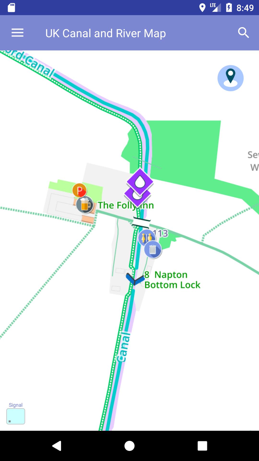
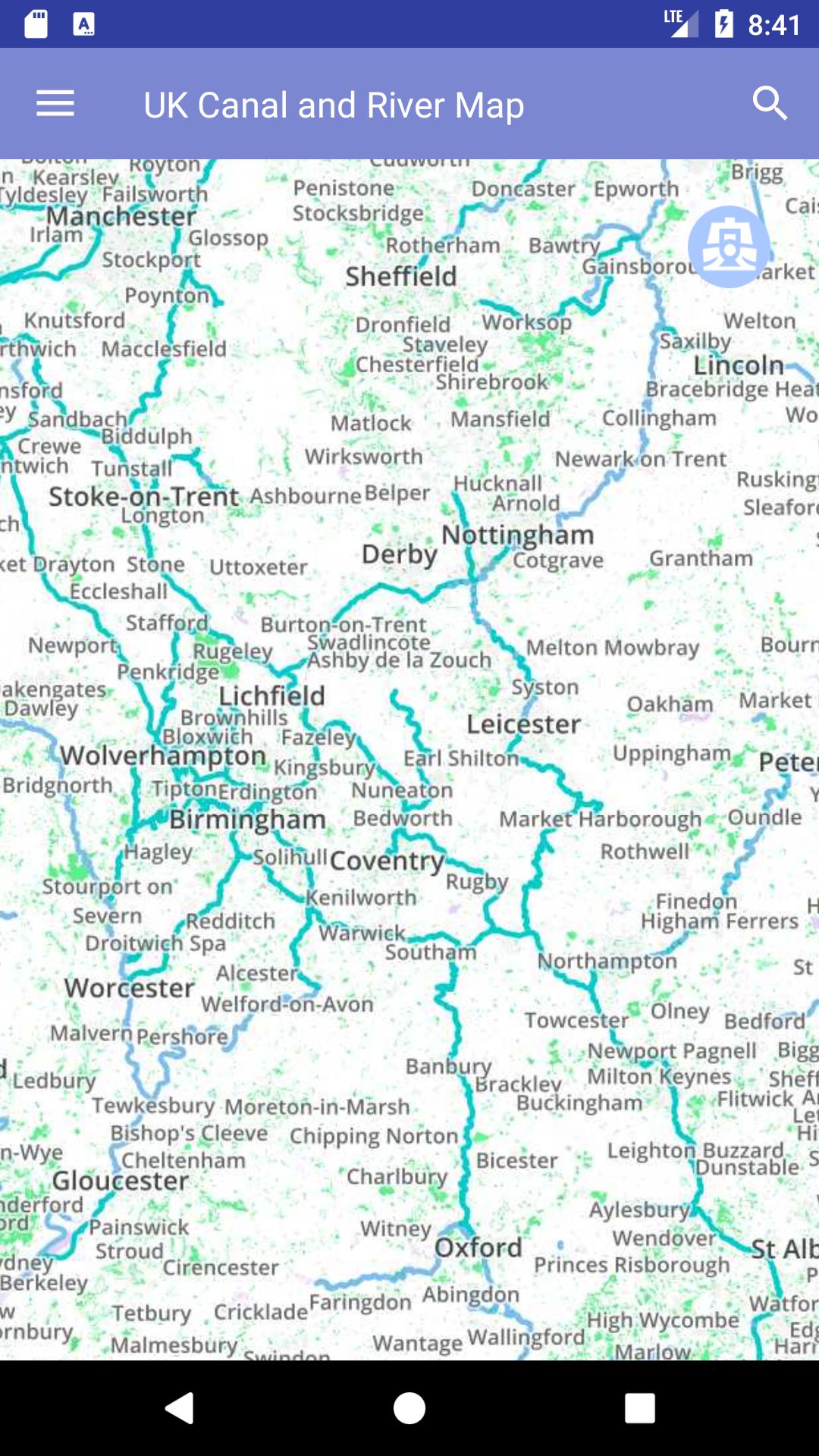
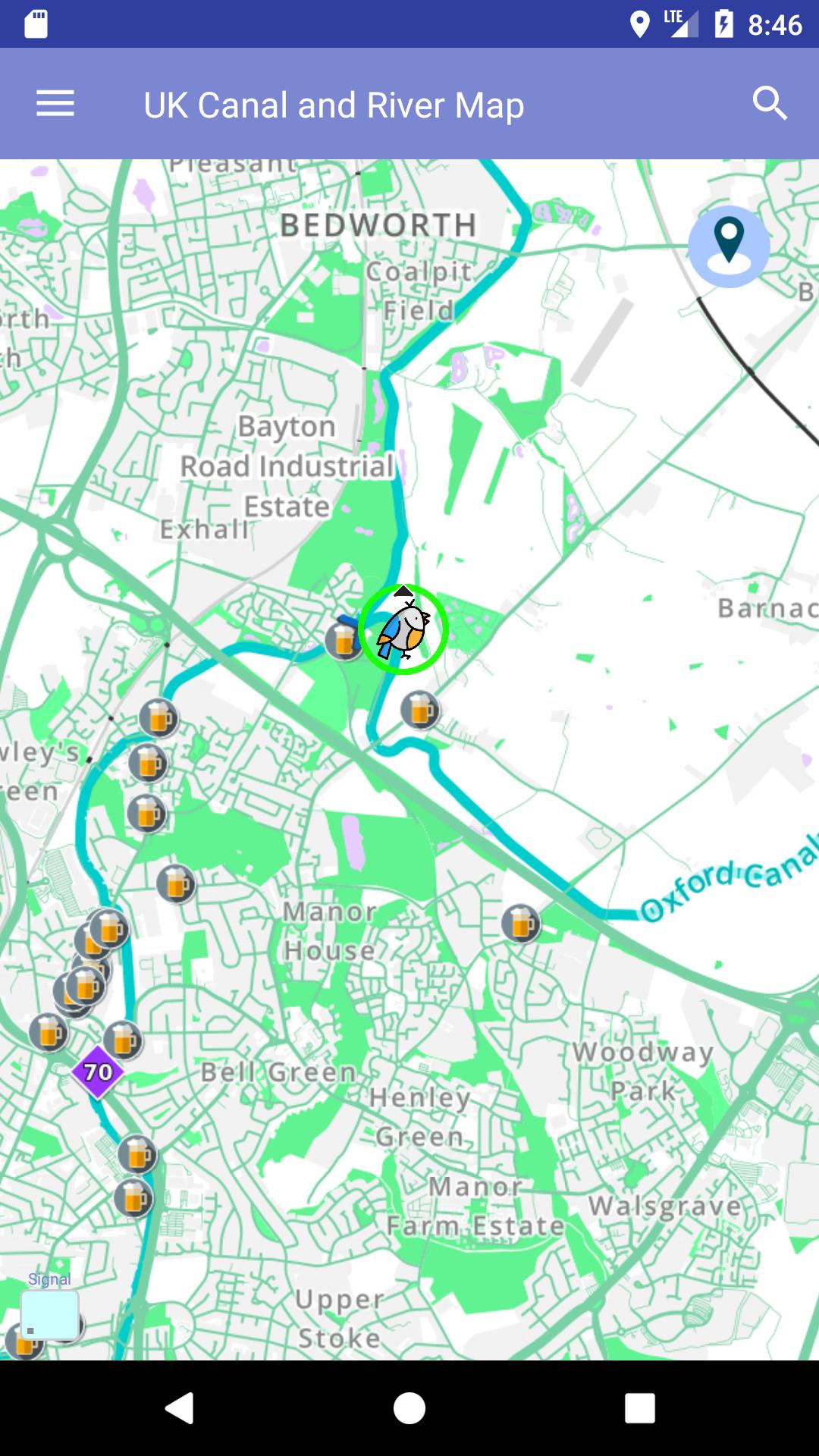
A specialised and essential map for the entire UK Canal network, showing points of interest and services such as water, turning points, pump outs, mooring, pubs, locks, marinas, bridges, restaurants and much more...
When used to tour around areas of the UK canal and river network, it gives clear and concise information of points of interest. It enables you to get the most out of the UK canal and river system.
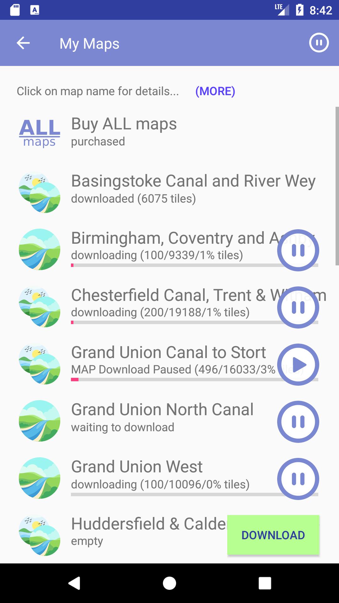
This mobile app has been designed and improved by users of the UK waterway network. It is the designer's intention to continue to develop and refine the app in response to observations and customer feedback and for it to become the definitive electronic guide to the UK waterway network.
The map data is supplied under the Open Data Commons Open Database Licence (ODbL) by the OpenStreetMap Foundation - http://www.openstreetmap.org/copyright. The map style and display however is solely owned by TycTak Ltd, no reproduction is allowed unless expressly permitted, please contact support for further information.
Last updated on 14/10/2017
Minor bug fixes and improvements. Install or update to the newest version to check it out!
احدث اصدار
![]() 1.30
1.30
محمل
Alejandro Lima
Android متطلبات النظام
Android 4.1+
الإبلاغ


Discover what you want easier, faster and safer.

CanCam
1.30 by TycTak Ltd
14/10/2017